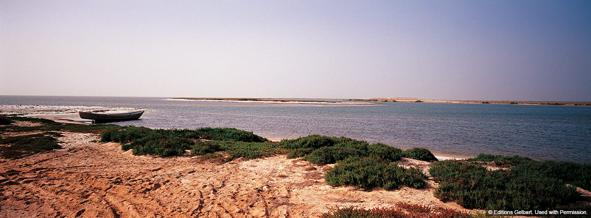
Lake Qarun is a permanent salt lake about 80km southwest of Cairo, 220km south of the Mediterranean coast of Egypt. It is 45m below sea level in the lowest, northern section of the Fayyoum Depression. The lake is about 50km long from east to west, about 5.7km wide, and has a surface area of 243sq km. Its depth ranges from 5m in the east to 12m in the west. It is part of the ancient Lake Moeris, visited by Herodotus in 450 B.C.
The lake is bordered by agricultural land, swamp and marsh vegetation to the south and east, desert to the north and at the far end of the lake in the west are the dunes of the Western Desert. There are lagoons, bays, mud- and salt flats along the southern and northern shores of the lake. The main source of water for the lake is drainage from irrigated land, and groundwater from sub-surface springs.
Historically, Qarun was a much larger freshwater lake, with dense marsh vegetation along its shores. The lake was fed by the Nile, first from its floodwaters, then in 2300 BC through the water flowing in the newly widened and deepened manmade channel linking the lake to the Nile. In recent times, evaporation, increased cultivation and irrigation projects have made Lake Qarun slightly more saline than seawater. Nile species of fish have mostly disappeared from the lake, being replaced by many species introduced from the Mediterranean.
The lake is an important archeological site because it is a confluence of marine, fluvial and continental environments. The variety of fossil fauna and flora goes back to some 40 million years.
Lake Qarun was established in 1989 as a marine and terrestrial reserve.
Reference: www.birdlife.org; http://touregypt.net/parks